Early November is the in-between season for off-roading around Eagle Nest. The summer crowds are gone from the Moreno Valley, the aspens have dropped their leaves, and the high forest roads are still on the map, but the weather up there is no longer summer weather. This week, instead of pointing readers to one specific route, this Off-Road Friday is about getting ready: how to plan a late-fall drive on the designated forest roads around Eagle Nest so that the season ends with good memories and no rescue stories.
Click to see more photos of the Carson National Forest
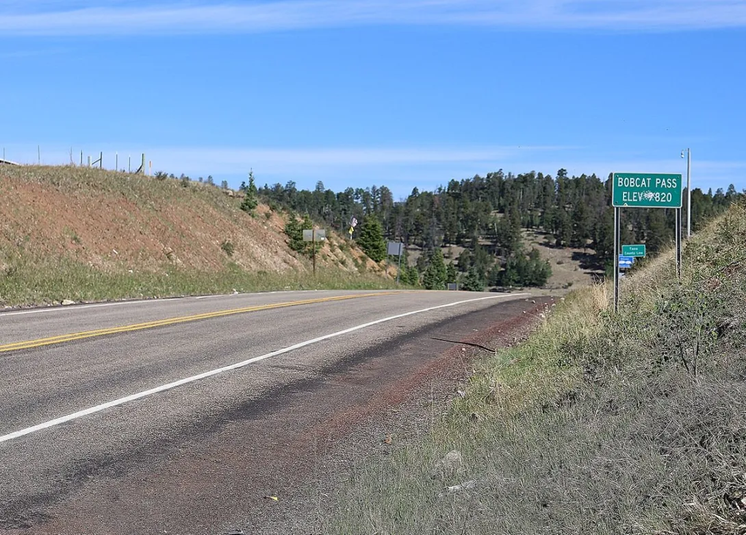
Start with elevation, because elevation is the whole story here. Eagle Nest sits above 8,000 feet, and the paved road east toward Red River, New Mexico State Road 38, crosses Bobcat Pass at 9,820 feet, as the green summit sign reminds every driver who passes it. The designated routes in the Carson National Forest climb higher still, onto exposed ridges where wind, ice, and early snow arrive weeks before they settle in the valley. A mild afternoon in town, like today, with a high near 51 degrees, can hide a freezing ridge above, and temperatures fall well below freezing overnight. Sunset today comes at 4:59 in the afternoon, so a late start quietly cuts the usable day short.
Preparation is mostly paperwork and honesty. The paperwork is the Motor Vehicle Use Map for the Questa Ranger District of the Carson National Forest. The Forest Service describes that map as the legal record of which roads and motorized trails are open, what vehicle classes may use them, and what seasons apply, and free copies are available from the Forest Service and in the Avenza mapping app. The honesty is about turning around: late-fall surfaces can be frozen in morning shade, muddy by afternoon, and icy again by dusk, so turn back early rather than spinning through a soft stretch and tearing up the road for everyone who follows. Seasonal winter road closures for vehicles take effect on January 1 in much of this forest, and most of those roads reopen around May 1, which makes November a good month to check a favorite designated road against the map before the winter pattern sets in.
Fall also means sharing the forest. Hunters, ranch traffic, woodcutters, and other drivers all use these same designated roads in November, and much of the Moreno Valley floor is private ranch land, so a road that looks inviting on a phone screen may cross a gate that is not yours to open. Travel with a companion vehicle when you can, tell someone at home where you are going and when you expect to be back, carry warm layers, water, and a full tank, and do not count on cell service in the canyons. If a gate is closed, the road beyond it is closed to you, whatever an old track suggests.
Know before you go
Stay on designated routes only, meaning the roads and motorized trails shown as designated for your vehicle on the Carson National Forest Motor Vehicle Use Map for the Questa Ranger District. Check current Forest Service alerts and closures before you go, because restrictions and road conditions can change without notice, and snow can close the high routes to wheeled vehicles in winter. Practice Tread Lightly: travel responsibly on designated routes, cross streams only at designated fords, drive over rather than around obstacles so the route does not widen, and pack out everything you pack in. Respect gates and private land, leave gates as you find them, and give wildlife and other road users plenty of room.