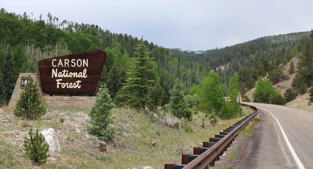
From Eagle Nest, some of the best high-country driving in the Enchanted Circle begins with a paved climb. New Mexico State Road 38 rises east out of the Moreno Valley, crosses Bobcat Pass at 9,836 feet, and drops into Red River, and just beyond that corridor stands Greenie Peak, a summit of more than 11,200 feet in the Carson National Forest. The motorized way up is the Forest Road 54 system, a designated route that climbs toward the peak through pine and aspen forest, and in mid-November it offers Eagle Nest drivers one last look at the high country before winter takes hold.
Forest Road 54 and its 54D spur make a gradual ascent from the Cabresto Canyon side to Greenie Peak, and the upper road is rocky, steep in places, and very narrow. At the top, a large open area rewards the climb with wide views across the Sangre de Cristo Mountains and toward the Red River ski slopes nearby. It is old mining and forest country, the kind of landscape that shaped the towns around the Circle, and from Eagle Nest it makes a satisfying full day out: a scenic paved approach over Bobcat Pass, a slow and careful climb on designated forest roads, and a summit view that takes in the whole northern Moreno Valley rim.
Late season is exactly when honesty matters most on a route like this. The Forest Service seasonal road restrictions page for the Carson National Forest, checked today, lists no seasonal designations currently in effect, and the forest seasonal winter closures generally take effect on January 1, with most roads reopening around May 1, so November sits inside a narrowing window rather than outside it. Designation, however, is not a condition report. Eagle Nest was sunny and 55 degrees today with a 4:53 p.m. sunset, but rain and snow showers were forecast for tonight and snow showers for Saturday, and a high, shaded road can turn slick or muddy long before the valley floor does. Anyone heading up should check conditions the same morning, carry warm layers and a full tank, and be willing to turn around at the first soft or icy stretch.
That willingness is part of what keeps these routes open and enjoyable for everyone. A short, careful outing now, with an early start and a firm turnaround time, is worth far more than a long push against the weather, and the peak will still be there when the roads reopen in spring. For Eagle Nest readers who love the forest roads above the valley, Greenie Peak is a fine way to close the season, provided the mountain agrees on the day.
Know before you go
Stay on designated routes only. Forest Road 54 is designated for motorized use on the Carson National Forest Motor Vehicle Use Map for the Questa Ranger District, and that map, not tracks on the ground, decides where vehicles may go. Check current Forest Service alerts and closures before going, because restrictions can change without notice. A high-clearance vehicle is the sensible choice for the rocky upper climb. Practice Tread Lightly, respect gates and private land, pack out everything you pack in, and turn back rather than driving around mud, snow, or a closed gate.